Mapping the World's Oceans: A Blessing or a Curse?
BERLIN, GERMANY - SEPTEMBER 21, 2025 - Despite the widespread use of satellite imaging in modern times, the ocean floor remains largely unmapped. According to researchers, only about one-fifth of the mysterious ocean floor has been surveyed so far.
A joint project between the United Nations and the private Nippon Foundation, Seabed 2030, aims to map the entire ocean floor by the end of this decade. The initiative is driven by a growing recognition of the importance of understanding the world's oceans, which cover approximately 71% of the planet.
"The ocean covers 71% of the planet, so it's just vast, incomprehensibly vast," said Laura Trethewey, a Canadian environmental journalist and author of "The Deepest Map: The High-Stakes Race to Chart the World's Oceans." "There's just no terrestrial equivalent. It's like trying to map an entire continent."
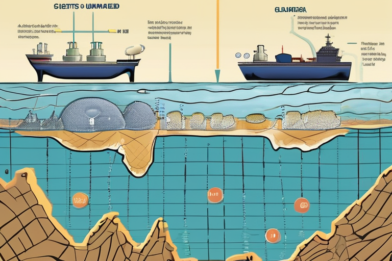
One of the main challenges in mapping the ocean floor is the inability of radar signals to penetrate water. As a result, commercial satellites can only provide images with a resolution of around 5-8 kilometers per pixel, making it difficult to identify features on the seafloor.
Echo sounding technology has been used to survey about 20% of the ocean floor so far. This method uses sound waves to measure the depth of the water and create detailed maps of the seafloor topography.
The Seabed 2030 project aims to use a combination of satellite imaging, echo sounding, and other technologies to create high-resolution maps of the entire ocean floor. The initiative is expected to provide valuable insights into marine ecosystems, help identify areas of high conservation value, and inform sustainable fishing practices.
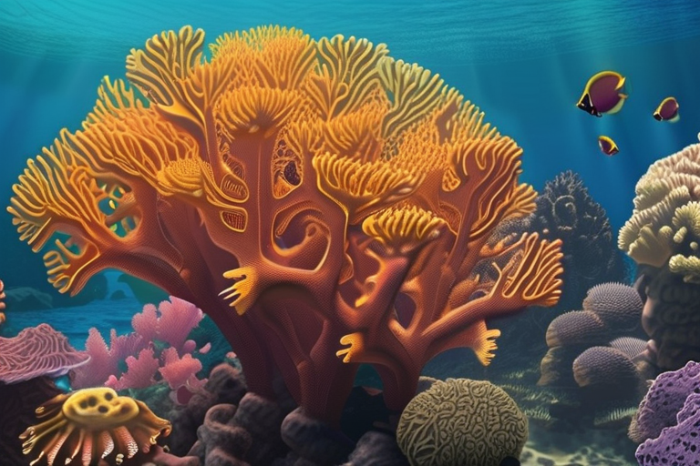
"The ocean holds 'entire worlds' of biodiversity," said Trethewey. "By mapping the ocean floor, we can better understand these ecosystems and work towards preserving them for future generations."
The project's success will depend on international cooperation and the development of new technologies that can overcome the challenges of mapping the ocean floor. If successful, Seabed 2030 could provide a significant boost to our understanding of the world's oceans and their importance in supporting life on Earth.
Background:
The United Nations has been working towards establishing a comprehensive map of the ocean floor since the 1960s. However, progress has been slow due to technical challenges and lack of funding.
Additional Perspectives:
Dr. Maria Rodriguez, a marine geologist at the University of California, San Diego, noted that "mapping the ocean floor is not just about creating pretty pictures. It's about understanding the complex processes that shape our planet and informing policies that protect our oceans."
The Seabed 2030 project has already received support from several countries, including Japan, Germany, and the United Kingdom.
Current Status and Next Developments:
Seabed 2030 is currently in its planning phase, with a team of international experts working to develop a comprehensive strategy for mapping the ocean floor. The project aims to release its first set of maps by 2027, with regular updates expected over the next decade.
As the world's oceans continue to play an increasingly important role in supporting life on Earth, the need for accurate and detailed maps of the ocean floor has never been more pressing.
*Reporting by Dw.*
Scientists Chart Unmapped Ocean Floor, Raising Questions About Global Impact
1
0