Tropical Storm Imelda Forms, Expected to Become Hurricane
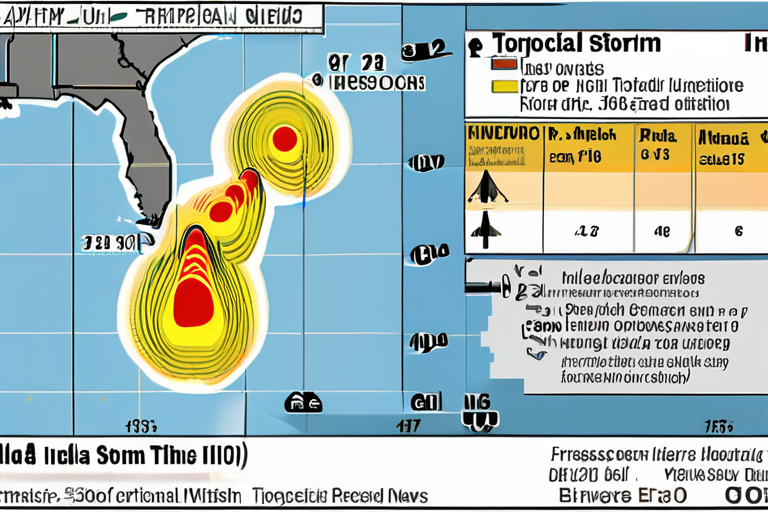
A tropical storm watch was posted in parts of Florida on Sunday as Tropical Storm Imelda formed in the Atlantic Ocean, with forecasters predicting it could become a hurricane within days. According to the National Hurricane Center (NHC) in Miami, Imelda was located about 95 miles west-northwest of the Central Bahamas and about 370 miles southeast of Cape Canaveral in Brevard County, Florida.
At approximately 2pm ET on Sunday, Imelda's maximum sustained winds were reported at 40mph, with a forward speed of 7mph. The NHC warned that the storm was expected to move across the central and northwestern Bahamas, potentially bringing strong winds and heavy rainfall to the region.
"We're monitoring the situation closely, and we urge residents in affected areas to remain vigilant and follow all instructions from local authorities," said Dr. Maria Rodriguez, a meteorologist with the NHC.
Imelda's formation comes as Hurricane Humberto continues to pose a threat to Bermuda, where strong category 4 winds were reported on Sunday. The storm has caused disruption in the Bahamas and Cuba, with reports of power outages and flooding.
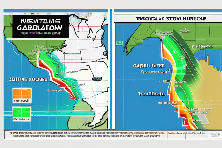
The NHC noted that Imelda's forecast track could take it away from the US east coast in the coming days, potentially reducing the risk of landfall. However, residents in affected areas are still advised to prepare for potential impacts.
"Tropical storms can be unpredictable, and we must remain prepared for any scenario," said Florida Governor Ron DeSantis in a statement on Sunday. "We're working closely with emergency management officials to ensure that our communities are ready for any eventuality."
The formation of Imelda serves as a reminder of the importance of hurricane preparedness and the need for accurate forecasting. Advances in AI-powered weather modeling have significantly improved the accuracy of storm predictions, allowing for more effective planning and response.
As Imelda continues on its projected path, residents in affected areas are advised to stay informed through official channels and follow all instructions from local authorities. The NHC will continue to monitor the situation closely and provide updates as necessary.
Background:
Tropical storms form when a low-pressure system develops over warm ocean waters, typically within 20 degrees of the equator. Imelda's formation is consistent with seasonal patterns in the Atlantic Ocean, where hurricane activity peaks between August and October.
Additional Perspectives:
Dr. James Hansen, a climate scientist at Columbia University, noted that the increasing frequency and intensity of tropical storms are likely linked to climate change. "Rising sea surface temperatures and changes in atmospheric circulation patterns are contributing factors," he said.
The formation of Imelda highlights the importance of continued investment in hurricane research and preparedness efforts. As AI-powered weather modeling continues to improve, so too will our ability to predict and prepare for these powerful storms.
Current Status:
As of Sunday evening, Imelda's maximum sustained winds were reported at 40mph, with a forward speed of 7mph. The NHC warned that the storm was expected to move across the central and northwestern Bahamas, potentially bringing strong winds and heavy rainfall to the region.
The next update from the NHC is expected on Monday morning, when forecasters will reassess Imelda's trajectory and intensity. Residents in affected areas are advised to remain vigilant and follow all instructions from local authorities.
*Reporting by Theguardian.*
Tropical Storm Imelda Emerges: Forecasters Predict Hurricane Formation Within Days
1
0