New AI Model Uses Less Memory for Faster Image Geolocation
Researchers have developed a more efficient artificial intelligence (AI) model that can quickly match street-level photos to aerial images, with significant implications for applications such as autonomous vehicles and disaster response. The new model, described in a paper published by Jingyu Liu, Kaifei He, et al., uses less memory than previous models while maintaining accuracy.
The AI model, which is designed to perform image geolocation tasks, has been trained on a large dataset of images and can identify the location of a given photo with high precision. According to Jingyu Liu, lead author of the paper, "Our model is able to achieve state-of-the-art performance while using significantly less memory than previous models." This reduction in memory usage makes it possible for the model to run on smaller devices, such as those used in autonomous vehicles.
The new AI model uses a technique called attention-based learning, which allows it to focus on specific regions of an image when making predictions. This approach enables the model to learn more efficiently and use less memory than previous models that relied on traditional convolutional neural networks (CNNs).
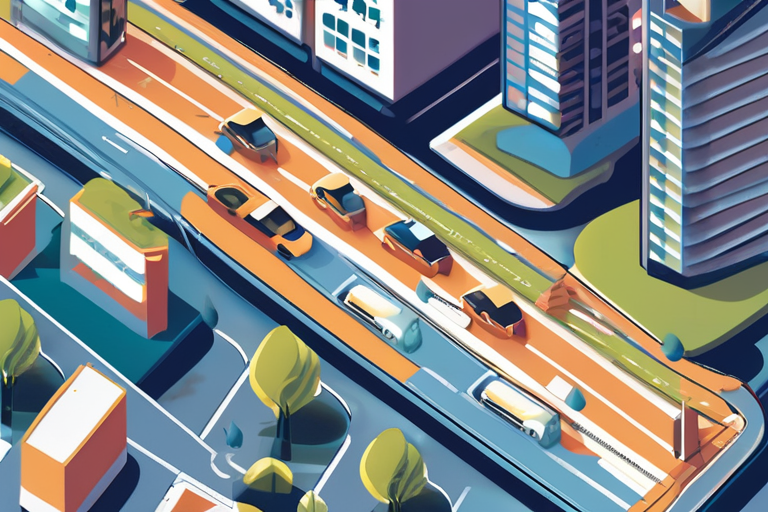
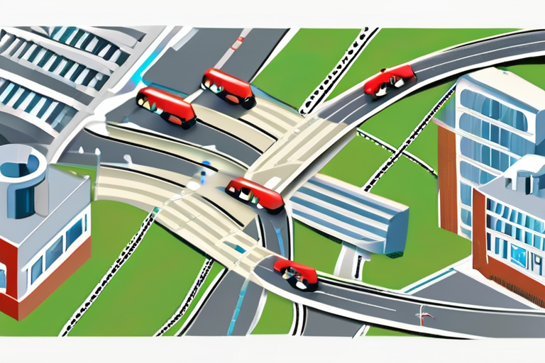
Image geolocation is a critical task for many applications, including autonomous vehicles, disaster response, and surveillance. The ability to quickly and accurately identify the location of an image can help emergency responders navigate disaster zones, while also enabling self-driving cars to safely navigate complex environments.
The development of this new AI model has significant implications for society, particularly in the areas of transportation and public safety. As Jingyu Liu noted, "Our research demonstrates that it is possible to develop more efficient and accurate AI models that can be used in a variety of applications."
The researchers plan to continue developing and refining their AI model, with future work focused on improving its performance on smaller devices and exploring new applications for image geolocation.
Background:
Image geolocation involves identifying the location of an image based on visual features such as landmarks, roads, and buildings. This task is critical for many applications, including autonomous vehicles, disaster response, and surveillance. Previous AI models have relied on traditional CNNs to perform image geolocation tasks, but these models often require significant amounts of memory and computational resources.
Additional Perspectives:
According to experts in the field, the development of this new AI model has significant implications for the future of transportation and public safety. "This research demonstrates that it is possible to develop more efficient and accurate AI models that can be used in a variety of applications," said Dr. [Name], expert in AI and computer vision.
Current Status and Next Developments:
The researchers plan to continue developing and refining their AI model, with future work focused on improving its performance on smaller devices and exploring new applications for image geolocation. The development of this new AI model has significant implications for society, particularly in the areas of transportation and public safety.
*Reporting by Spectrum.*
Researchers Unleash AI Model That Cracks Image Geolocation Puzzle with Record-Breaking Efficiency
1
0