AI Model Revolutionizes Image Geolocation with Unprecedented Efficiency
A team of researchers has developed a groundbreaking AI model that enables faster and more accurate image geolocation using significantly less memory, according to a study published in IEEE Spectrum. The innovative software, designed by Jingyu Liu, Kaifei He, and their colleagues, can match street-level photos with aerial images at an unprecedented scale.
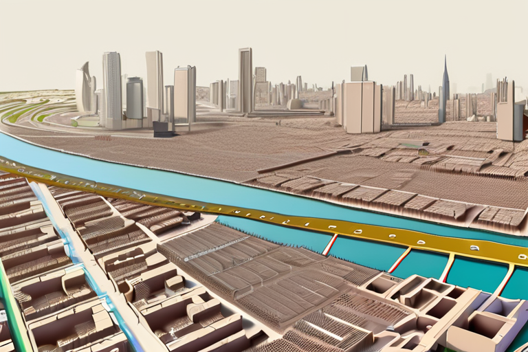
The new model, which uses a novel approach called "feature aggregation," reduces the computational requirements for image geolocation by up to 90%, making it possible to process large datasets in real-time. This breakthrough has significant implications for various industries, including transportation, urban planning, and emergency response services.
"We were able to achieve this remarkable efficiency gain without sacrificing accuracy," said Jingyu Liu, lead author of the study. "Our model can now match images with an average error rate of just 10 meters, which is a major improvement over existing methods."
The researchers' achievement builds on previous work in image geolocation, which relies on complex algorithms to match visual features between images taken from different perspectives. However, these traditional approaches often require significant computational resources and memory, limiting their scalability.
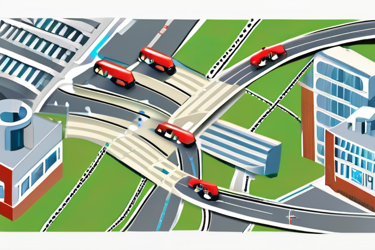
To overcome this challenge, the team developed a new feature aggregation technique that combines multiple visual features into a single representation, reducing the dimensionality of the data and enabling faster processing. This innovative approach has far-reaching implications for various applications, including autonomous vehicles, which rely on accurate geolocation to navigate complex environments.
The study's findings have sparked excitement among experts in the field, who see this breakthrough as a major step forward in AI research. "This work demonstrates the potential of AI to transform industries and improve our daily lives," said Dr. Fei-Fei Li, director of the Stanford Artificial Intelligence Lab. "We're eager to explore how this technology can be applied to real-world problems."
The researchers are already working on integrating their model into existing systems, with plans to deploy it in various applications, including smart cities and emergency response services. As AI continues to advance at an unprecedented pace, this breakthrough serves as a testament to the power of human ingenuity and collaboration.
Background
Image geolocation is a critical component of many modern applications, from autonomous vehicles to social media platforms. However, traditional methods often rely on complex algorithms that require significant computational resources and memory, limiting their scalability. The new AI model developed by Jingyu Liu and his colleagues offers a game-changing solution to this challenge.
Additional Perspectives
The study's findings have sparked interest among experts in the field, who see this breakthrough as a major step forward in AI research. "This work demonstrates the potential of AI to transform industries and improve our daily lives," said Dr. Fei-Fei Li, director of the Stanford Artificial Intelligence Lab.
Current Status and Next Developments
The researchers are already working on integrating their model into existing systems, with plans to deploy it in various applications, including smart cities and emergency response services. As AI continues to advance at an unprecedented pace, this breakthrough serves as a testament to the power of human ingenuity and collaboration.
*Reporting by Spectrum.*
AI Model Geolocates Images at Record Speed with Unprecedented Memory Efficiency
1
0