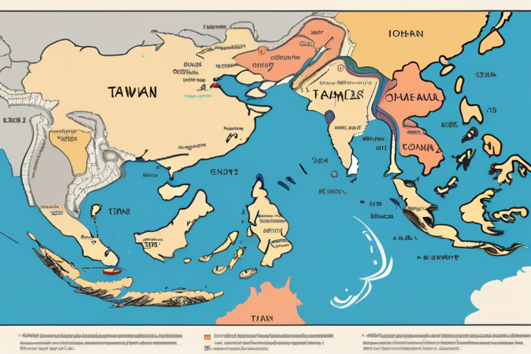
Google Maps has been displaying the border between Western Sahara and Morocco differently depending on the user's location, with the disputed territory's borders only visible to users in Western Sahara. The tech giant acknowledged this discrepancy in a statement, citing that the display of borders varies based on the search region.
According to a statement from Google, the company has not made any changes to its mapping of Morocco or Western Sahara. "We have not made changes to Morocco or Western Sahara on Google Maps," a Google spokesperson said in a statement to Age. This clarification comes after media reports highlighted the discrepancy, which some attributed to the UN Security Council's endorsement of Morocco's autonomy plan for Western Sahara.
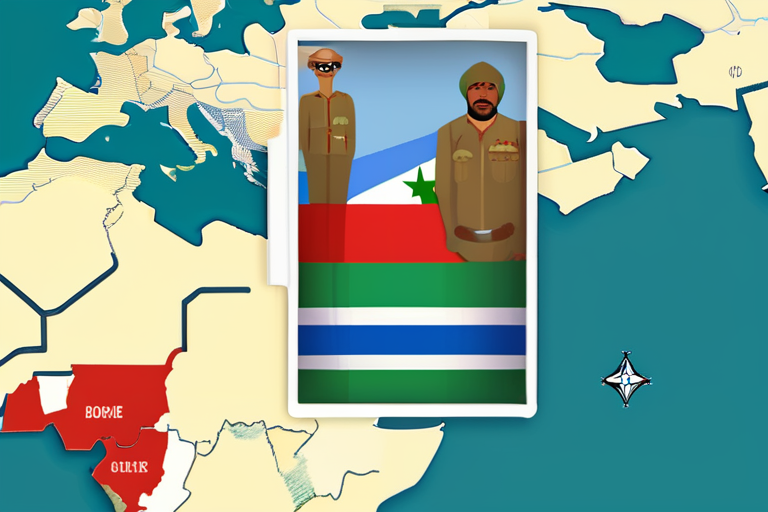
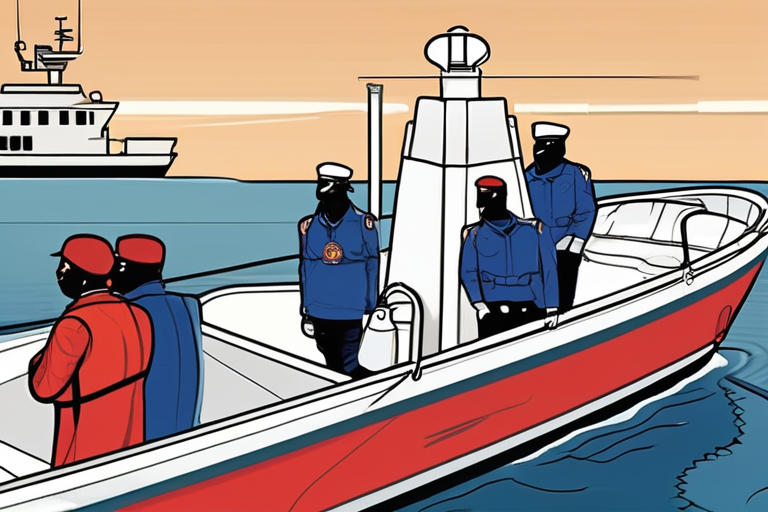
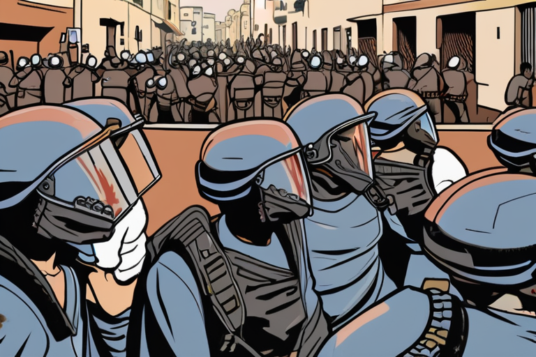
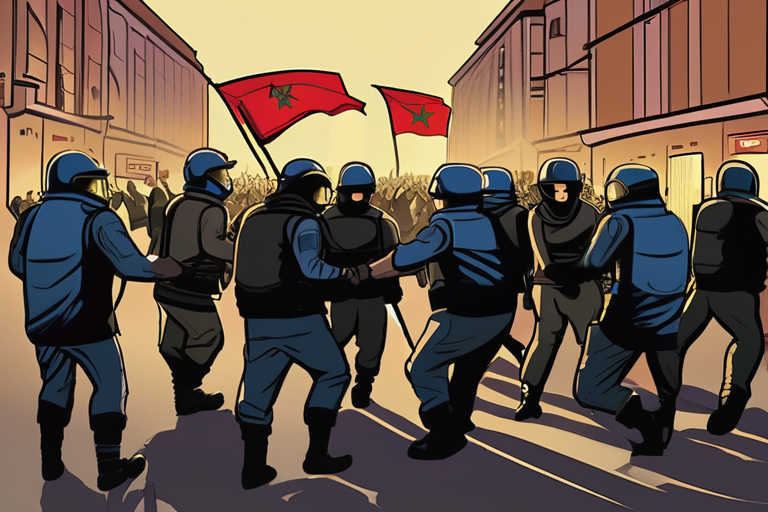
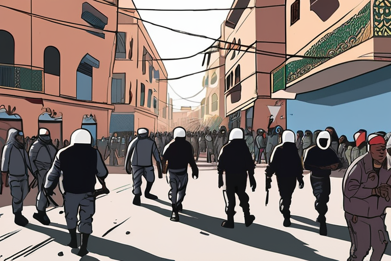
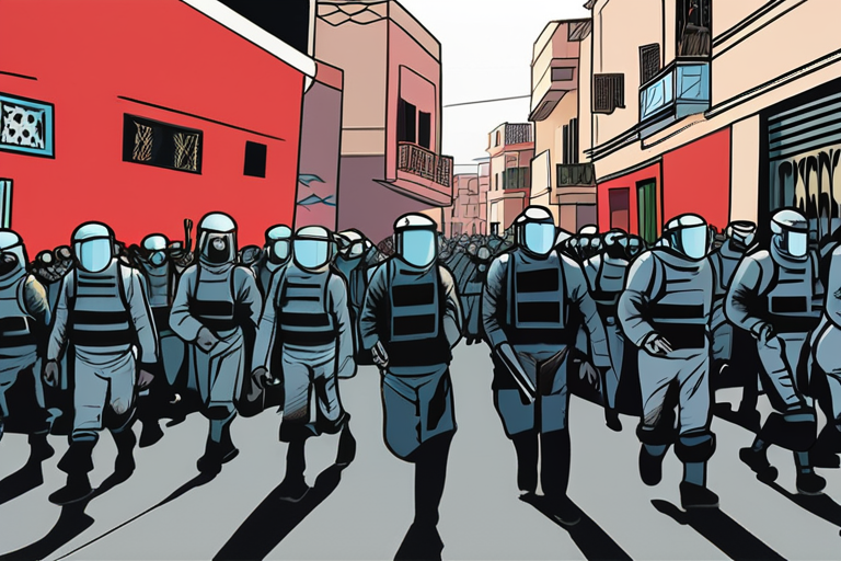
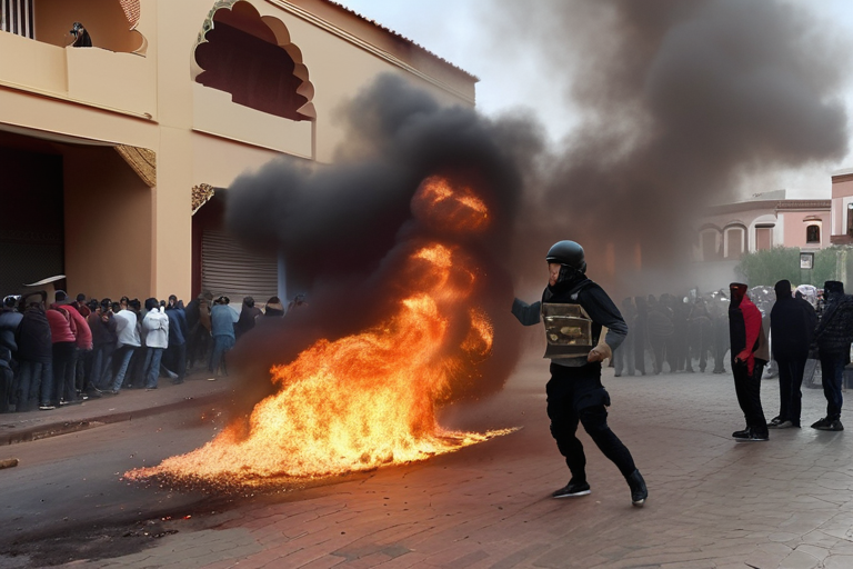
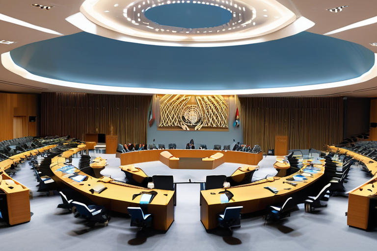
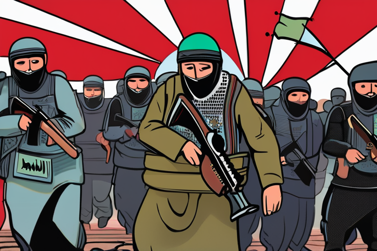
The UN Security Council's resolution, passed in 2020, recognized Morocco's sovereignty over Western Sahara, while also endorsing the country's autonomy plan. This move has been met with opposition from the Polisario Front, a Sahrawi nationalist movement that seeks independence for Western Sahara. The border dispute between Morocco and the Polisario Front has been ongoing for decades, with both sides claiming sovereignty over the territory.
Google Maps' display of borders has been a topic of interest for researchers and activists, who have used the platform to track changes in territorial claims. The platform's use of different border displays for users in Western Sahara and Morocco has sparked debate about the role of technology in shaping our understanding of disputed territories.
The discrepancy in Google Maps' border display has also raised questions about the company's approach to mapping disputed territories. While Google has not made any changes to its mapping of Morocco or Western Sahara, the company's use of different border displays has been criticized by some as perpetuating the status quo.
As the situation in Western Sahara continues to unfold, Google's approach to mapping disputed territories will likely remain under scrutiny. The company's use of different border displays has sparked a wider conversation about the role of technology in shaping our understanding of territorial disputes.
Google Maps Excludes Disputed Western Sahara Border for Moroccan Users
1
0
Multi-Source Journalism
This article synthesizes reporting from multiple credible news sources to provide comprehensive, balanced coverage.


Share & Engage Share
Share this article