
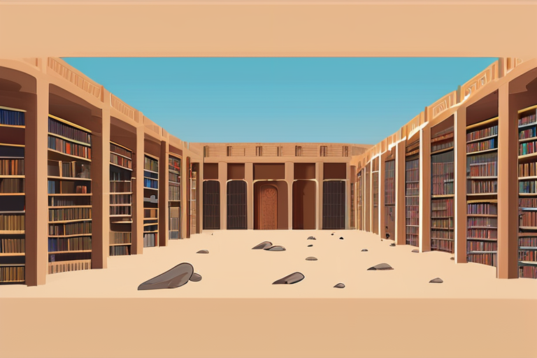
The Maine State Library has recently launched an innovative program that allows students to handle and explore historical maps, including two 400-year-old globes and a collection of cosmic shrouds. The program, designed to bring maps to life, provides students with a unique opportunity to engage with the past and gain a deeper understanding of the world's complex history.
According to library officials, the program aims to provide students with a hands-on experience of exploring historical maps, which can be a more engaging and effective way of learning compared to digital maps. "When students handle physical maps, they can see the scale and place of the world in a way that digital maps can't replicate," said a library official. "It's a tactile experience that allows them to connect with the past and understand the significance of maps in shaping our understanding of the world."
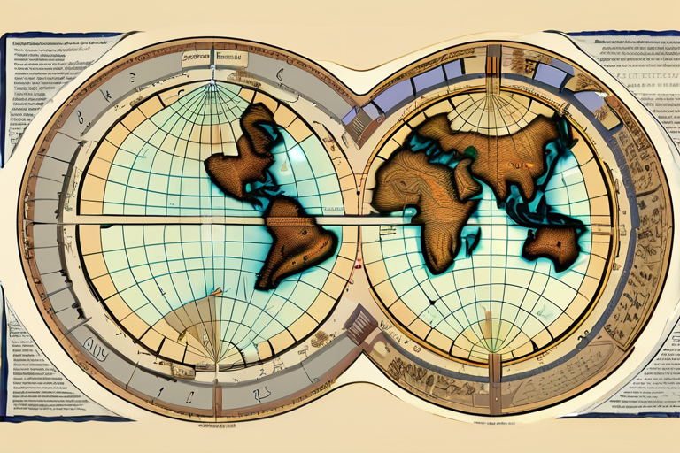
The library's collection includes two copies of the Theatrum Orbis Terrarum, a 1575 atlas considered to be the world's first. The atlas was created by Abraham Ortelius, a Flemish cartographer who is often credited with producing the first modern world map. The library's collection also includes a range of other historical maps, including cosmic shrouds, which are maps of the universe that were used by astronomers in the 17th century.
The program is part of a broader effort to promote the study of geography and cartography in schools. According to a recent report, the study of geography has declined in recent years, with many schools no longer offering geography as a core subject. The Maine State Library's program aims to reverse this trend by providing students with a unique and engaging way of learning about the world.
The program has been well-received by students and teachers alike. "The program has been a game-changer for our students," said a teacher who participated in the program. "It's allowed them to connect with the past in a way that they never thought possible. We're seeing a real increase in engagement and enthusiasm for geography and cartography."
The Maine State Library's program is part of a broader effort to promote the use of historical maps in education. According to a recent study, the use of historical maps can improve students' understanding of geography, history, and culture. The study found that students who used historical maps performed better on geography and history tests compared to those who used digital maps.
The program is currently being offered to students in the state of Maine, but library officials are exploring the possibility of expanding it to other states. The library is also working with educators and cartographers to develop new and innovative ways of using historical maps in the classroom.
In conclusion, the Maine State Library's program is a unique and innovative way of bringing maps to life. By providing students with a hands-on experience of exploring historical maps, the program aims to promote the study of geography and cartography in schools and improve students' understanding of the world's complex history.
Maine Library Unveils Historic Maps, Bringing 400-Year-Old Secrets to Life
1
0

Multi-Source Journalism
This article synthesizes reporting from multiple credible news sources to provide comprehensive, balanced coverage.


Share & Engage Share
Share this article